A map to avoid risks
Children at the Emilio Bárcenas Elementary School in Segundo Frente municipality, Santiago de Cuba, understand the importance of caring for nature and are preparing to be resilient to climate change.

- Español
- English
“Look what we brought you!” says Migdalia Escudero Vinent, a methodologist for scientific activities in the province of Santiago de Cuba, as teachers help her unroll a huge map-shaped game. The children's joy shows in collective jubilation.
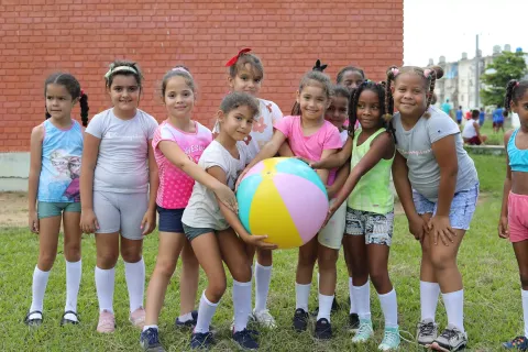
The playground of the Emilio Bárcenas Elementary School seems small for the large open scroll held by the students. It's Riskland, a didactic entertainment for children to learn how to prevent disaster risks playfully. It is one of the items used as part of the Ministry of Education's project, with support from UNICEF Cuba, to promote multi-risk disaster awareness among students and teachers.
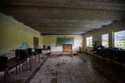
Surrounded by mountains, the school enrolls about 100 children from the Soledad Demarcation in the Segundo Frente municipality of Santiago de Cuba. It is a very modest construction, made of wood and a light roof of zinc sheeting. Therefore, it is vulnerable, especially to tropical cyclones.

A poster painted on a wall in the courtyard reads: “It is our duty to make up for the damage we cause to nature by taking action to protect the planet.” Several students are sat around the poster. During their school break, they talk about children's topics, some neighbourhood prank, a joke told by a grandfather, the latest game in fashion...
When the break is over, they all gather around their teachers and connect with a topic close to their hearts: multi-risk disaster reduction. Now is the time to show off the knowledge acquired during the academic course, thanks to the Ministry of Education’s joint project with UNICEF Cuba and the contribution of the Directorate-General for Civil Protection and Humanitarian Aid Operations (ECHO).
In front of students and teachers, a girl points to her school's multi-risk disaster and climate change map. The map identifies sites where frequent landslides caused several accidents.
“We are affected by heavy rains, which cause rivers overflow and floods, as well as draught.” said the student. “At that time, the rivers dry up and the chance of forest fires is higher. The map points us where the hazards are and helps us take action,” she continued.
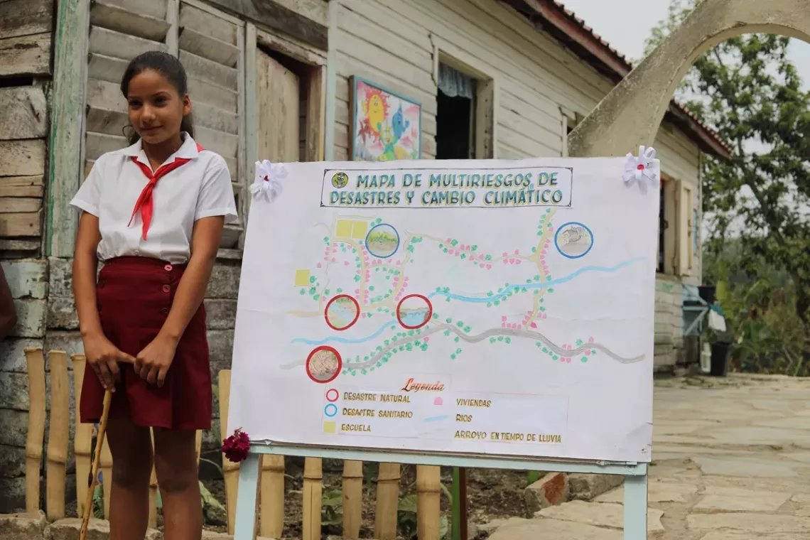
To create the educational tool, teachers and students went on a tour to determine the places where the main vulnerabilities of the area are located. Some family members, such as Neyda Torres Matos, accompanied them on the walk.
“We saw trees that could cause accidents in the event of strong winds, and places where landslides could cause a child to fall. We also marked the areas polluted the most on the map —for instance, Magañanes and the coffee pulping industry. We have often had to go there not only to assess the risk, but also to tell them how to mitigate the damage and how to help so that it doesn't continue to happen.”
Héctor Laborde Mendoza, a physical education teacher, warns:
“It's important to know all these aspects because our children are coming to school and a landslide can cause an accident. With this information, they know where to cross safely.”
Teacher Aracelys Chacón explains that the school project is not dealt with in a specific subject.
“We fit in this information at all times, both in teaching and extracurricular activities,” she said. “We ask the students to write texts about the risks in our locality. We ask them a set of questions so that they can place themselves in their daily context because they know about the disasters that have occurred in the area. We try to do so in a practical way. We taok them to the site to put up signs. There were even potholes in the road and the bus couldn't get through. So, we went there with students to fill them in. The community saw what we were able to do. We have also visited neighbours' houses, telling them what to do in case of a cyclone or an earthquake.
The school's head, Noel Trujillo Kindelán, explains that everything is organised in scientific-methodological work as part of upgrading the teaching staff. They design the methodological activities to be carried out during the month, both in the classes and in workshops they organised to provide information to the community.
Soledad Demarcation is a coffee and timber-growing area located some 54 kilometres from the city of Santiago de Cuba. Due to its natural characteristics, this district is always at risk for multiple disasters. Thus, the Ministry of Education's project is so crucial. It is designed to be sustained over time and has several stages. It aims to build resilience skills for years to come.