Saving Invisible Children Through Geolocation: Raoul, an unsung Hero
Raoul uses geolocation and mapping to find Cameroon’s invisible children—unregistered, unvaccinated—and helps ensure they’re seen, protected, and included.

Raoul is not a doctor. He doesn’t travel from village to village with a cooler full of vaccines. He doesn’t hold a syringe in his hands. Yet, from his office at Cameroon’s Expanded Programme on Immunization (EPI) in Yaoundé, he saves lives. His weapon? Data. His mission? Ensuring no child is left behind.
“What touches me the most is knowing that there are children who have never been counted, never vaccinated, never registered at birth. As if they didn’t exist,” he says, eyes fixed on a digital map dotted with red points.
Each point represents a community, a village, a life.
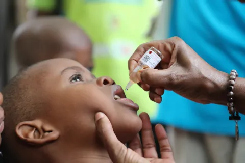
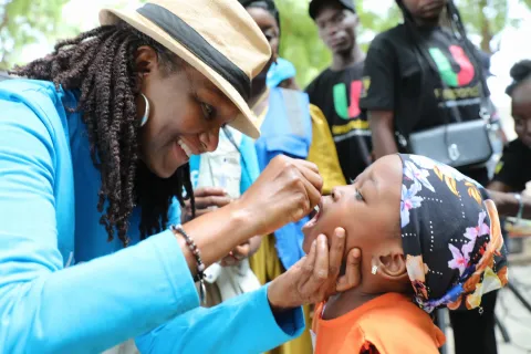
Since 2024, Raoul, a computer engineer, has been at the heart of a quiet revolution: the launch of the Reach the Unreached initiative, led by UNICEF and its technical partners (MapAction, CartONG, University of Southampton). The goal? To identify, locate, and vaccinate zero-dose children—those who have never received a single vaccine—in the most remote areas of Cameroon.

Maps to Find the Forgotten
“Before, our work relied on estimates and rough sketches. We knew some children weren’t being vaccinated, but it was impossible to locate them. Now, geolocation gives us full visibility and allows us to find them precisely,” Raoul explains.
He speaks passionately about the GIS (Geographic Information System) tool provided by the project. With his team, he has collected geospatial data, produced interactive maps, and guided field teams to previously overlooked areas: nomadic camps, isolated villages, and border zones.
“It’s not just technology. It’s a way of telling these children: you exist, and you have the right to be protected.”
Tangible Results, Transformed Lives
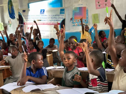
Thanks to this high-precision mapping, hundreds of children have been identified during microplanning, registered, and vaccinated. Some even received their first birth certificate, a crucial step toward social inclusion.
Raoul recalls a village near the border, absent from all official maps.
“Vaccination teams had never been there. When we showed them the map, they were able to go. That day, 47 children were vaccinated. For me, that’s victory.”
Microplanning has leapt forward. Thanks to field teams collecting data, detailed maps are created using GIS tools. Published on platforms like IASO, these maps are no longer just illustrations—they are strategic tools for planning.

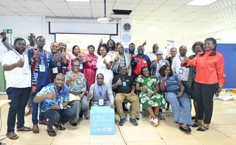
UNICEF’s Support: A Key Lever
UNICEF, through its regional office and experts in Technology for Development (T4D) and immunization, has supported EPI at every stage: data collection, training, use of existing databases (IASO), and coordination with local authorities. The approach is participatory, integrated, and sustainable.
“This project has helped us strengthen our capacities, plan better, and most importantly, understand where the needs truly are.”

A Dream for Tomorrow
Raoul isn’t stopping here. He dreams of expanding this approach to other regions and services: nutrition, education, and child protection. He wants every child—no matter where they are born—to be visible, recognized, and protected.
“As long as there’s a child we haven’t seen, a child we haven’t counted, I’ll keep going. Because every child deserves to exist—in our data, in our decisions, and in our actions.”